MC-1010-V3x with the active antenna can comply with the sensitivity specification contained in AIS 140 standard. It is the best solution to those customers that design tracking applications in compliance with AIS 140.
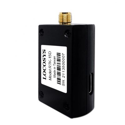
RTK-15D product via Type-C cable easy with any Android smart phone or tablet which targets for river channel exploration, collect waypoints, construction site mapping system, highway mapping, pipeline mapping and other geographic mapping system.
Besides, LOCOSYS provide unique “RTKFox-15D” App SW has a user-friendly operation interface, which is convenient for users to set to “Base Station mode” or “Rover mode” by themselves. This is an extreme convenient product. It features powerful compatibility with other GNSS receivers in the market by flexible USB interfaces can quickly equip on Android system with centimeter accurate RTK.
FEATURES
- Support GPS, GLONASS, GALILEO, BEIDOU, QZSS and NAVIC
- Capable of SBAS (WAAS, EGNOS, MSAS, GAGAN) and QZSS SLAS
- Support 135-channel GNSS
- Ultra low power consumption (option)
- Fast TTFF at low signal level
- Free hybrid ephemeris prediction to achieve faster cold start
- Up to 10 Hz update rate
- ±15ns high accuracy time pulse (PPS)
- Support Linux and Android OS driver
- Protocol support binary output
- IATF 16949 quality control
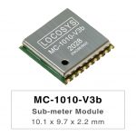
- Small form factor 10.1 x 9.7 x 2.2 mm
- SMD type with stamp holes; RoHS compliant
SPECIFICATION
| MC-1010-V2a | MC-1010-V3a | ||
| Satellite System | GPS + QZSS + GALILEO + GLONASS + BEIDOU | GPS + QZSS + GALILEO + GLONASS + BEIDOU+IRNSS | |
| Interface | UART / I²C | ||
| Input Voltage | 1.73V – 1.98V | ||
| Power(mA) | 51mA | 28mA | |
| VB (uA) | 44uA | ||
| Operating Temp (°C) | -40 ~ 85 | ||
| Dimension (mm) | 10.1 x 9.7 x 2.2 mm | ||
APPLICATIONS
- Personal positioning and navigation
- Automotive navigation
- Autonomous Vehicle (ex: AVN/T-BOX/HUD)
- Marine navigation
- Fleet management
- Unmanned Aerial Vehicles
- Hand-Held Device
- Tracker